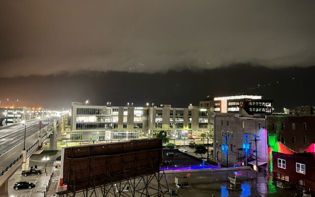
Tornado Sirens Wailed As Severe Storms Moved Through Lincoln Area Late Tuesday Night

LINCOLN–(KFOR June 15)–Sirens blared across the Lincoln metro area late Tuesday night, as a tornado warning was posted for most of Seward and northern areas of Lancaster County, including the northside of Lincoln.
There was a report from the Nebraska State Patrol of a tornado on the ground along I-80 near the Pleasant Dale exit. Lancaster County Sheriff’s Sgt. Chad Bryant tells KFOR News he and other deputies went out to the area to investigate.
🔊Sound on
“I’m not @KenSiemek,… but you can definitely see it.” -Sgt. Henrichs, while driving towards the tornado last night.
Troopers can be valuable storm-spotters so our dispatchers can alert @NWSOmaha @NWSHastings @NWSNorthPlatte of what they’re seeing during a storm. pic.twitter.com/yJbGOCUK5F
— Nebraska State Patrol (@NEStatePatrol) June 15, 2022
“Shortly after, it was right around 11 o’clock, dispatch advised us that there was a report of a tornado sighting near the Malcolm area,” Bryant said. “So we had gone up to Malcolm to see if there was any damage or if anybody needed assistance.”
Sgt. Bryant said they also went up to Branched Oak Lake and spoke with some campers, who said high winds came through the blew leaves of trees but no significant damage.
A wind gust of 59 mph was reported at the Lincoln Airport and a 61 mph gust was reported at Waverly, where a tree had been blown down and damage a fence at a home in that area. Meteorologist Dave Eastlack from the National Weather Service office in Valley told KFOR News Wednesday morning that storm assessment teams will be in Lancaster and Seward counties later Wednesday to verify damage to see if straight-line winds or a tornado were responsible.
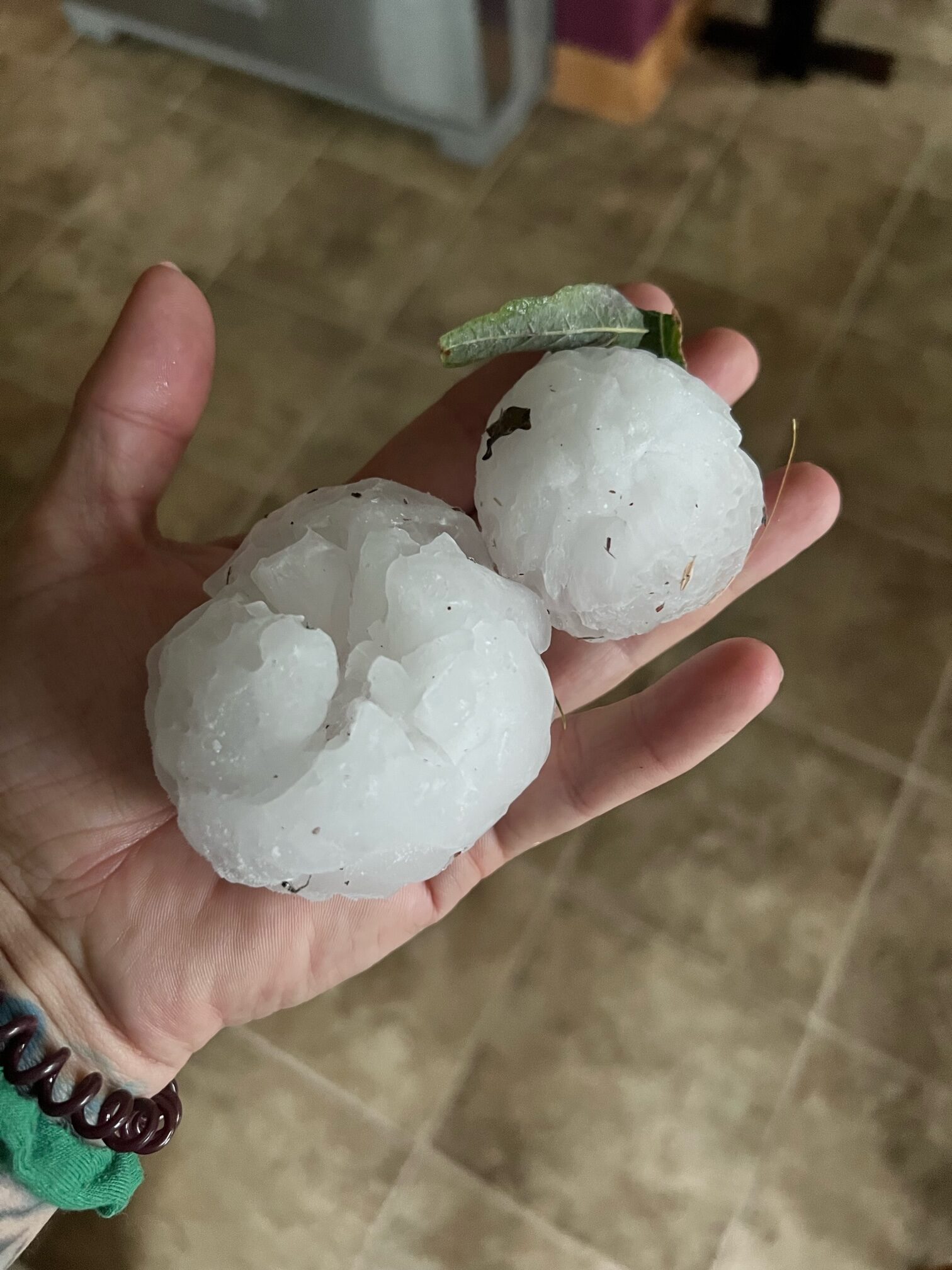
Eastlack says large hail was also reported with these storms. That included hail three inches in diameter reported two miles north of Malcolm.
“Seemed like the Malcolm area got hit hard with hail,” Eastlack added.

Golfball sized hail was reported around the Raymond area of northern Lancaster County. As the storm moved east, it continued to be severe reportedly knocking over some campers at a site along I-80 near Greenwood. A tornado warning was later issued for northern Cass and southern Sarpy counties, but no confirmation of touchdowns in those areas.
Eastlack said the storm and other supercells formed along a frontal boundary over portions of east-central and south-central Nebraska and there was enough wind shear for storms to become severe and start to rotate.


