Blizzard-Like Conditions Coming
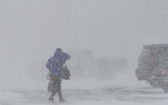
(KFOR NEWS February 3, 2021) The National Weather Service is warning Thursday morning travel will be impacted with snow and strong winds producing BLIZZARD-LIKE conditions.
Snowfall amounts of a 1″ to 2″ are possible, with the highest amounts in northeast Nebraska and northwest Iowa. Strong north to northwest winds will gust in the 35 to 45 mph range. Temperatures will approach WIND CHILL ADVISORY criteria
this weekend…ranging from -9 in Falls City to -15 below in Wayne. Lincoln’s wind chill is expected to be -12.
Storm models show snow overspreading the area between 4 AM and 8 AM Thursday, tapering off during the afternoon. Peak intensities will be between 6 AM and noon.
READ MORE: Deputies No Longer Looking For Missing Rural Raymond Woman